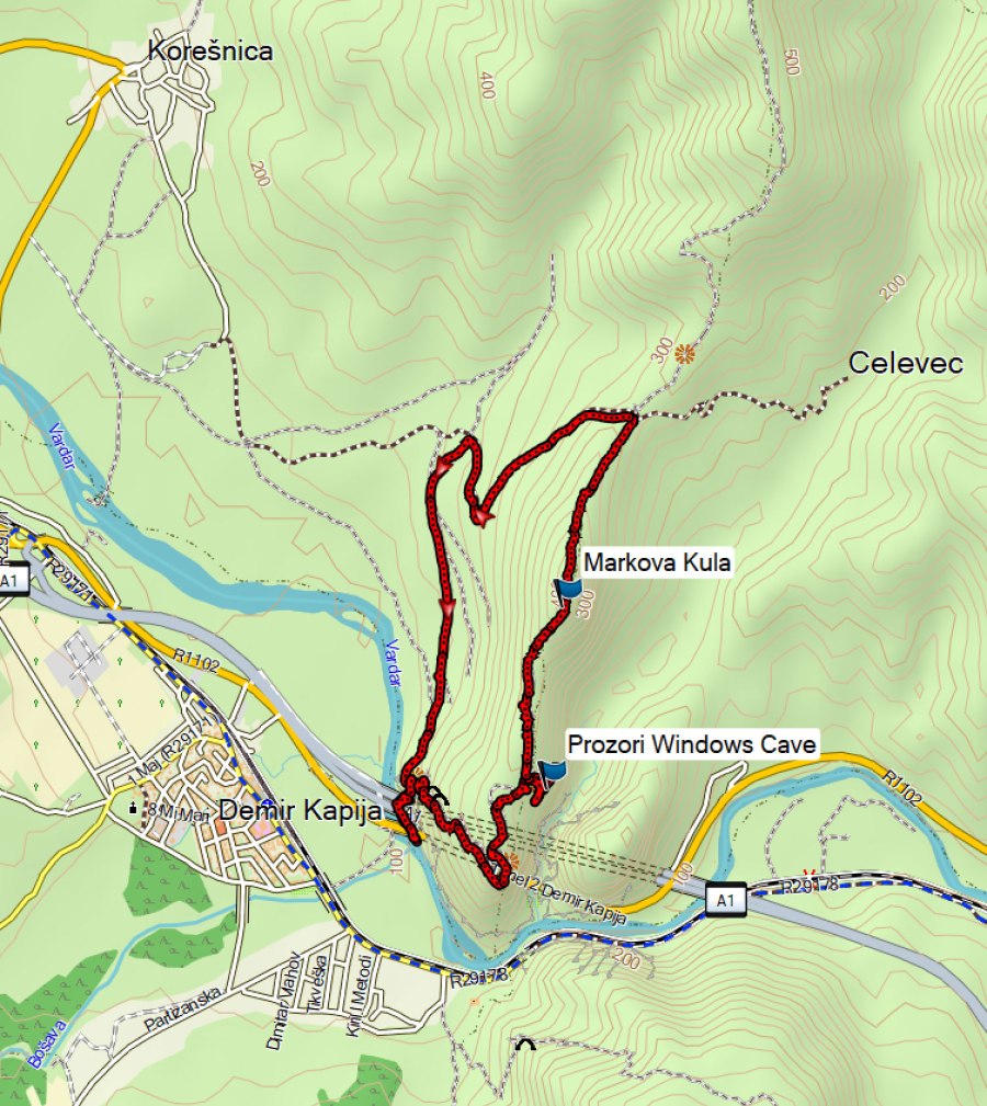
This 8 km hikes with almost 500 m ascent takes you to the ruins of the Markova Kula Fortress and the stunning Prozori (Windows) Caves.
The hike up to Markova Kula (Marko’s Tower) was more demanding than expected, probably due to the difficult terrain with small trails and the many stops we made to explore caves. If you’re only interested in the archeological site Markova Kula/Prosek and not in the caves, it is easier to approach Markova Kula from the village Koreshnica, although the road was not completely asphalted yet in 2025. Alternatively, do this hike in the opposite direction until you reach Markova Kula. The trail to the Prozori Caves is a bit steep with many loose stones and hiking sticks and good shoes are recommended here.
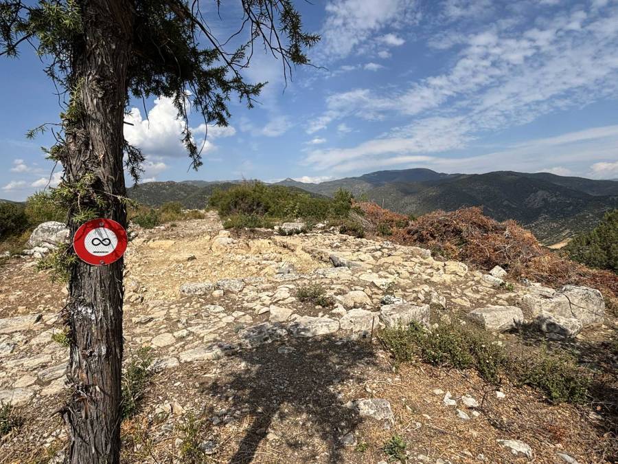
We parked car just before the tunnel. From there you walk underneath the highway. This was the first hike where I encountered a marking for the Macedonian Infinite Transversal trail Sammiana (https://sammiana.com/). The trail was quite well maintained.

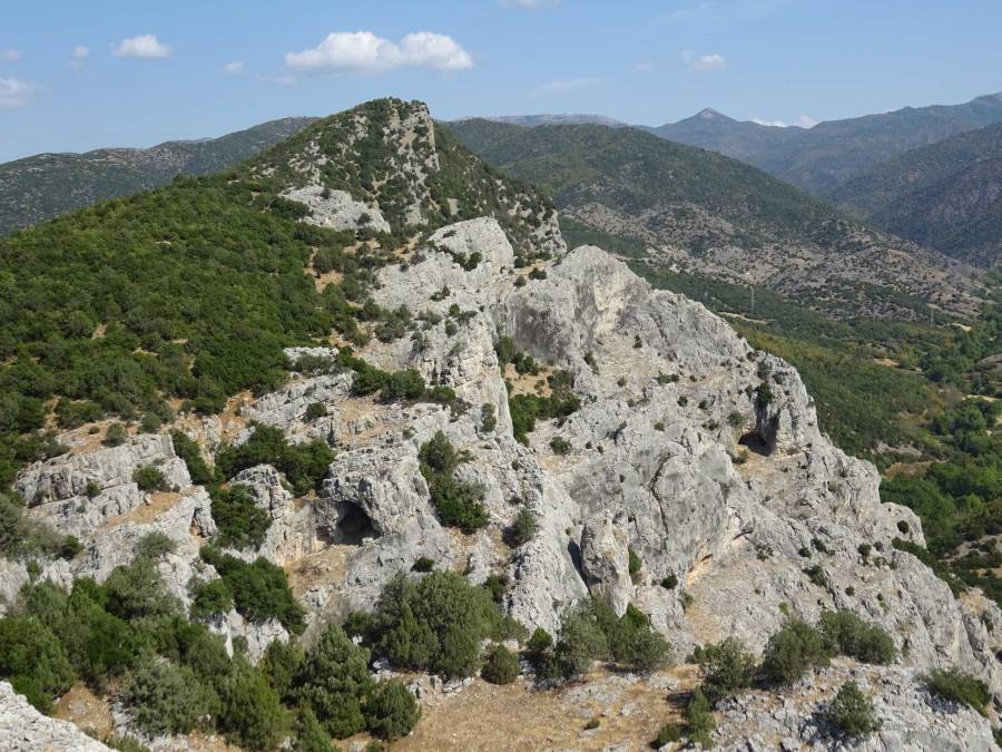
There are several caves along the trail, with the Prozori Caves, meaning Windows Caves, being the absolute highlight. These caves open up to the other side of the rock, giving superb views of the surrounding hills.

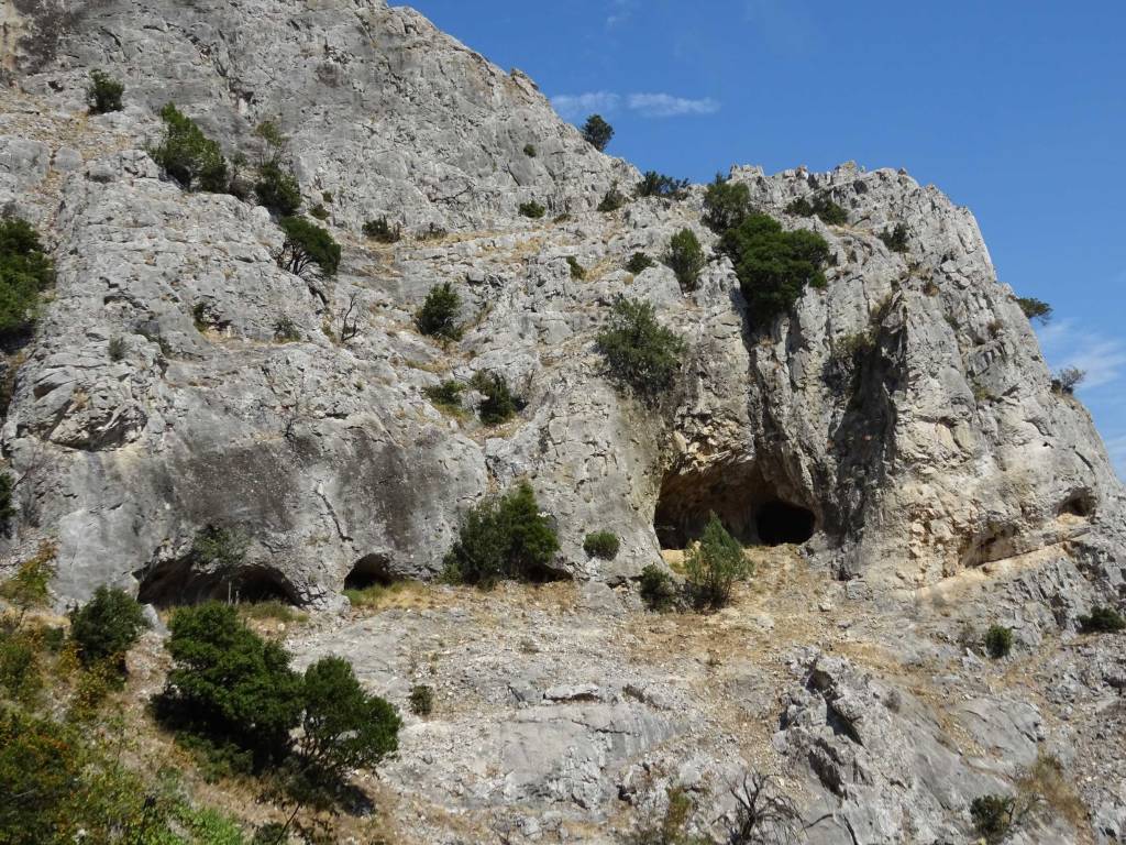
Opposite to the Prozori Caves there are some smaller caves. Interestingly, you can crawl through one of these caves, there is an exit on the other site that takes you to the caves that you could see earlier from the waypoint “Caves View”. Retrospectively, it seems that there is another cave with a large entrance a bit more south-west from where I stopped exploring (see the picture below).
A bit before the site of Markova Kula there were some stones with what I think are trace fossils, also known as ichnofossils. These are not fossils of the actual organisms themselves (like shells or bones), but rather the preserved traces of their activity — such as burrows, trails, feeding marks, or movement patterns left in soft sediment that later turned to rock.

Here is some information about the Markova Kula site from the information panel near the site:
“The archeological site “Prosek” is a complex of a medieval city. The oldest remains of this site date from the end of the IV and the beginning of the III century AD.
On the dominant rocks above the strait near Demir Kapija in antiquity and in the Middle Century, five fortified positions were built. The largest is Markov Grad, covered by Vardar from the west and south, and Chelevechka River from the east. The three sides are vertical, 120–220 m high above the rivers and absolutely inaccessible. The rock is compact and flattened from above, sloping to the west. The fortified space at the top was 600 × 280 m, occupying 14 ha. On its northwestern slope lies a lower terrace, Crkvishtе, large 120 × 60 m and 50–60 m high above Vardar. On three sides there are remains of a stone wall without mortar. Beneath Crkvishtе lies the passage across the Vardar river and the connection with the main settlement on the right bank.

In the early antiquity of Markova Kula – Yuruchki Kamen (the highest fortified position), 700 m north of Markov Grad was built a castle with a square shape (40 × 36 m), built of massive parallelepiped stone blocks. The walls were 2.40–3.20 m wide. In the past this fortress was ravaged and abandoned, but in late antiquity the plateau around the palace was fortified again in a long fortification, with special reinforcements with towers and gates (in solid mortar opus) on the north and south fronts. It was also used in the Middle Slavic-Byzantine period.

From the flora along the route to reach this place, under the influence of the continental and Mediterranean climate, the presence of Kermes oak, bushy areas in rocky places and general species of Mediterranean fungi is evident. The wildlife includes brown rabbit, red fox, golden jackal, wild boar, white-headed eagle, senica, sojka and others”.

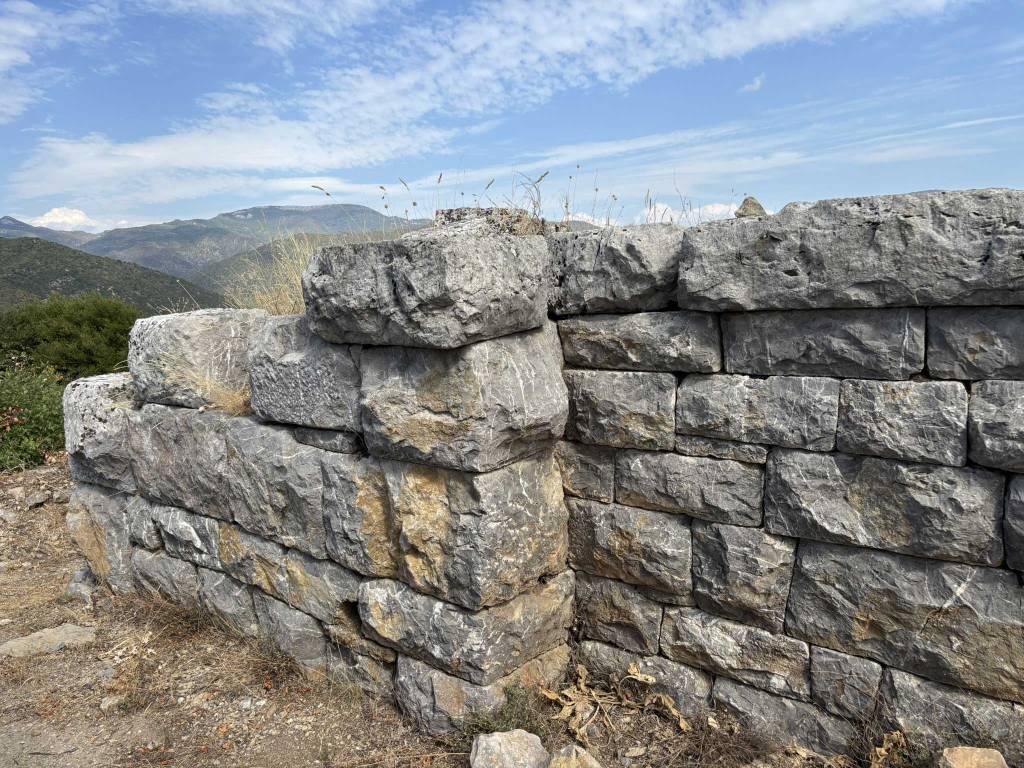
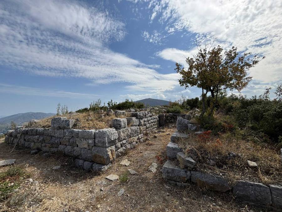
The ruins of Markova Kula are very impressive, with large stones tightly stacked together without mortar.
Close to the end of the hike we unexpectedly stumbled upon another excavation, of an old church.

Further reading:
- https://kks.org.mk/360/kula-koresnica/
- http://uzkn.gov.mk/mk/wp-content/uploads/2023/02/The-ancient-kingdom-of-Macedonia-and-the-Republic-of-Macedonia.pdf
The hike itself get 3.5 out of 5 stars, it has great views and interesting things to see along the trail.
You can view and download the GPS track of this hike here: https://www.wikiloc.com/hiking-trails/demir-kapija-markova-kula-fortress-and-prozori-caves-237872504