
This hike is about 24 km long with 750 m ascent and 1600 m descent and took about 9 hours including breaks.
The hike starts at the road through Galicica National Park that connects Lake Ohrid and Lake Prespa. Also the hike to Magaro Peak starts here. Note that you have to pay toll to use this road and an additional fee is asked for hiking in the park. However, if you start early the toll booth at the beginning of the road is not occupied yet! Calculate about 45 minutes to travel from Ohrid to the starting point (early in the morning without other traffic).
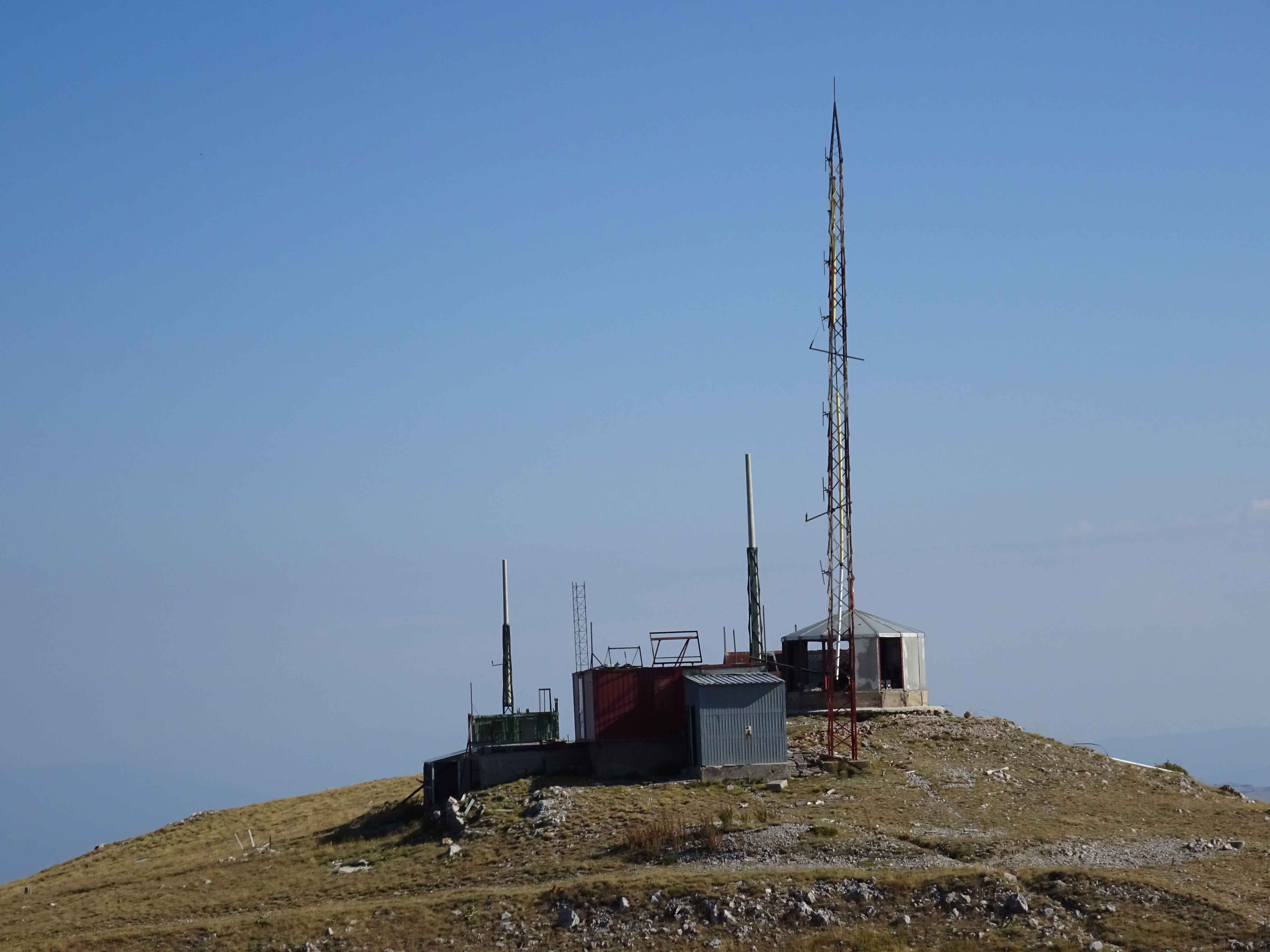
From the starting point to the old Antenna Station on top of the Lako Signoi peak is the only major climbing of this hike. There is also a 4×4 road leading to the antenna station, but I find the approach along the mountain trial described here more attractive. From the antenna station it’s mainly downhill, with some small ascents here and there.
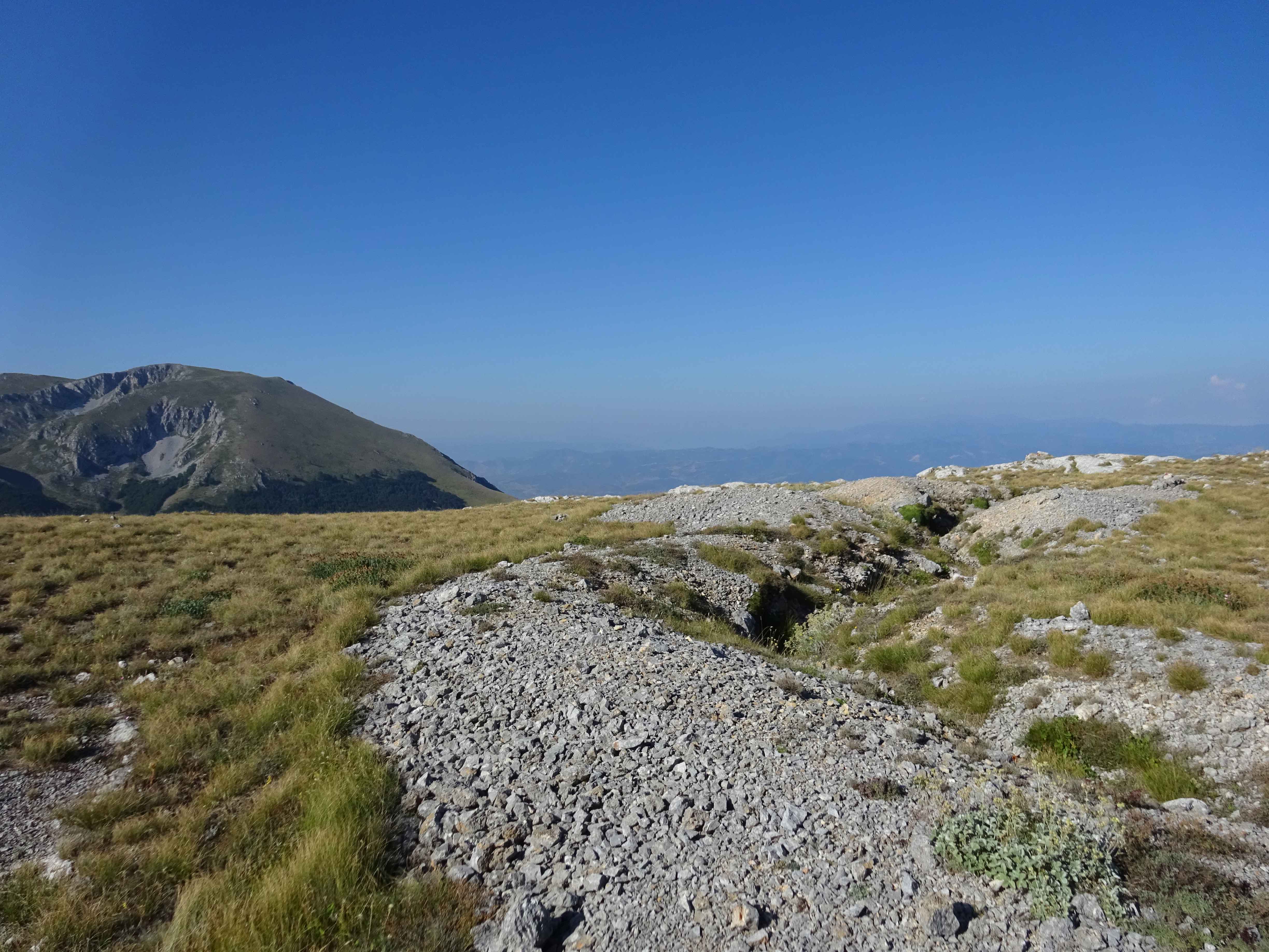
The hike offers amazing views of Lake Ohrid and Lake Prespa. Trenches from the first world war can be found, as well as some other deserted man-made structures.
The trail is marked with red/white marking, but a GPS is handy as the marking sometimes may be missing or unclear.
After about 9 km, make sure you follow the trail towards Velestovo and not to Elshani. The trail takes you zigzag through a small forest, after which you enter a beautiful valley where also the Samotska Dupka cave can be found. The cave is locked, so you may as well skip it.

After 14 km from the start, you can decide to walk via Velestovo or Konjsko in order to reach Ohrid. I used the latter descent via Konjsko in order to prevent overlap with other hikes I did in Galicica National Park.
This really nice (but long) hike gets a rating of 5 out of 5 from me!
A week later, I did a similar hike traversing Galicica National Park, not along the ridge but through the valley. Although these hikes are parallel to each-other, they offer completely different views of the park. The hike through the valley involved less climbing and was a bit easier.
You can view and download the GPS track for this hike here: https://www.wikiloc.com/hiking-trails/galicica-national-park-traverse-via-the-ridge-14871764

