
This hike is about 25 km long with only 300 m ascent and 1000 m descent.
The hike is mainly through the large valley of Galicica National Park and (aside the length) is a very easy walk, mainly using 4×4 roads.
The hike starts along the road through Galicica National Park that connects Lake Ohrid and Lake Prespa. Note that you have to pay toll to use this road, but if you’re early the toll boot is not manned yet.
I was dropped off at the starting point by car. Calculate about 45 minutes to travel from Ohrid to the starting point (early in the morning without other traffic). The starting point is the asphalt road that leads into Galicica National Park, to the ski lifts and the mountain hut.
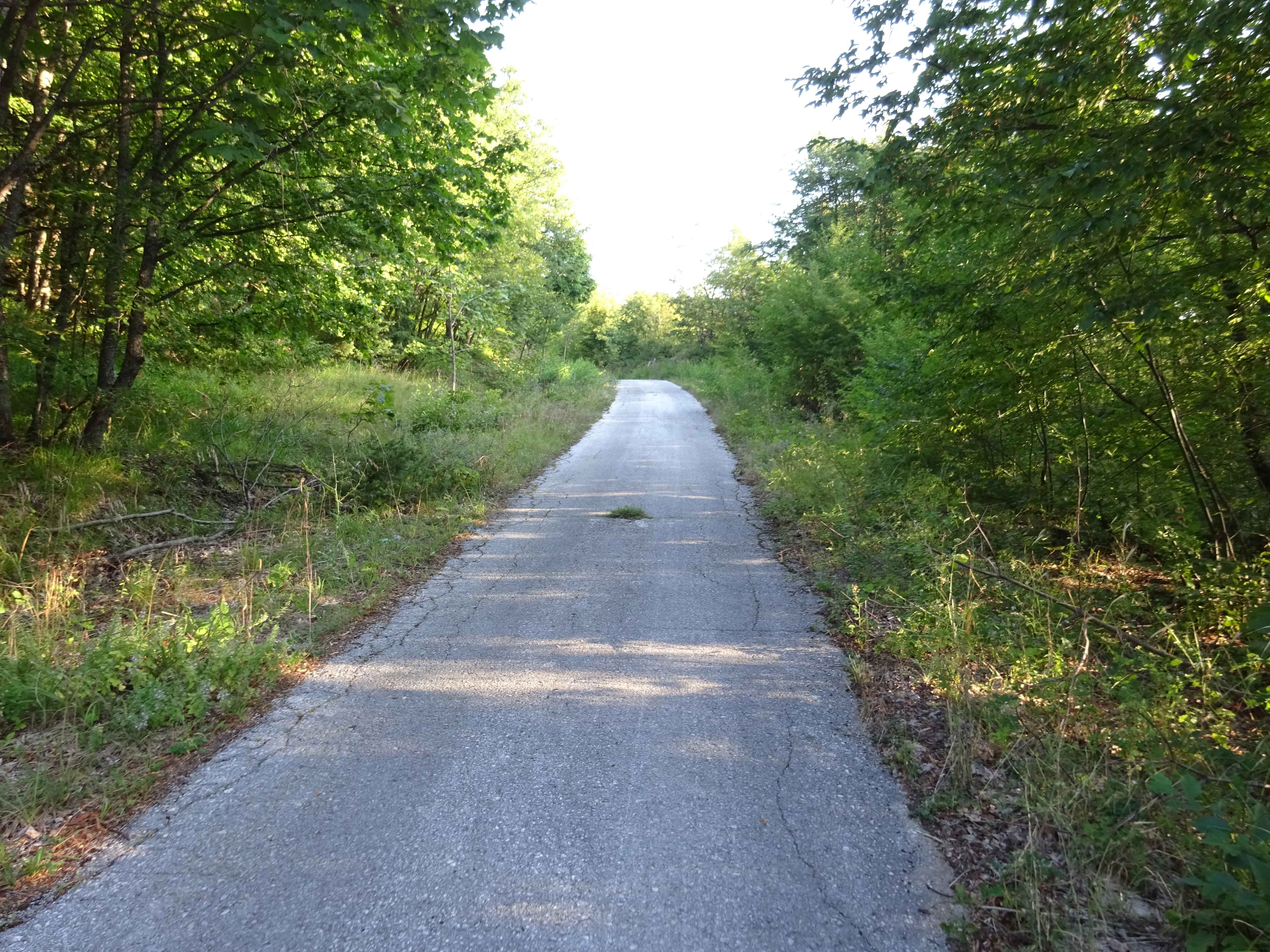
The first 2 km you’ll climb about 100 m using the asphalt road, followed by 10 basically flat kilometers on a 4×4 road. These 10 km are very beautiful and enjoyable, through the valley surrounded by the hills of Galicica National Park. About 8 km from the start, you can find the Mountain Hut Sharboica. It was deserted when I arrived there.

At 12 km from the start you take the uphill road to the left and do some more climbing (about 100 m) until you reach a covered picnic place with superb view over the valley. Next, you descent via the 4×4 track for 4 km, after these 4 km you take a smaller and steeper downhill trail towards the village Ramne and eventually Ohrid.

Alternatives: From the picnic place there is also the possibility to descent to Ohrid via Velestovo instead of Ramne. Additionally, after 18 km you can decent towards Ohrid via the trail that is described as “Pateka na Leko” (Leko’s Trail) on OpenStreetMap.

The last part of the 4×4 road from Ramne to Ohrid was a bit surprising: This place appears to be used by locals to make out, judged by the large amounts of condoms and tissues scattered around. This observation also explained the car that was parked here in the middle of nowhere, which suddenly took off when I approached 🙂 Maybe the nice view over Lake Ohrid from this location brings out the romance in people….
When you almost exit the park, close to the gas station on the roundabout near the Biljana Springs, you can find the Ruins of an Early Christian Basilica.

Just before I did this hike, I did a hike that is parallel to the one described here, but which follows the mountain ridge instead of the valley. Although these hikes are not more than 2 km apart, they both offer a completely different view and experience. Interestingly, while walking in the valley, I recognized the places that I had seen a few days earlier from the ridge. Details of the hike along the ridge can be found here: Galicica National Park Traverse Ridge hike.
This hike gets 5 out of 5 stars from me.
You can view and download the GPS track here: https://www.wikiloc.com/hiking-trails/galicica-national-park-traverse-through-the-valley-14872763

