
This is a beautiful GPS hike in Galicica National Park near Ohrid, that we did in the summer of 2014. This round trip is 8.5 km in length, with a height difference of about 700 m.
Note: If you are fit enough to add a few extra kilometers (but not too much additional climbing), I suggest to include the highest peak of Galicica National Park, Kota F10. That would result in a trip of 14 km with 800 m ascent, which in my opinion absolutely would be the best option to visit Magaro and surroundings. See here for more information: Magaro and Kota F10 peaks in Galicica National Park from Lipova Livada.
The hike described here is relatively easy because of its short length and not too much height difference. It is a good hike to start with if you plan to do more demanding hikes later.
If you’re already looking for a more demanding hike, there are several other approaches to the Magaro Peak. You can find them in my overview of hikes in Macedonia.
We previously attempted to do this round trip in 2010, but we could not complete the circle due to lack of marking. In 2014 we tried again, armed with an outdoor GPS device, a digital map from openstreetmap.org and a downloaded GPS track. In 2014, the trail was slightly better marked, with some wooden signs in addition to the usual red/white paint marking. However, without having a good look at the GPS track or the map, it still would not be very clear how to continue once you have reached the peak if you would rely only on the red/white marking.
The hike starts at a small parking near the highest point of the road between Lake Ohrid and Lake Prespa through Galicica NP. There is a yellow sign of the NP at the parking. Coming from Ohrid and driving to the south along the lake, you take the left turn into the NP just after the village Trpejca. Coming from Ohrid, it will take you about 45 minutes to get to the starting point.
NOTE: You have to buy tickets to drive and hike in Galicica National Park, and even an extra fee to climb Magaro applies. See the website of Galicica National Park for the latest ticket prices: https://galicica.org.mk/. In our case, the road was open when we drove to the starting point in the morning, but we had to pay when we wanted to exit the National Park in the afternoon. You may be able to circumvent the extra hiking charge by saying you’re just passing through to/from Lake Prespa or Resen! Another way to avoid at least the fee for cars is to hike all the way from the entrance of the park to peak Magaro, a tougher but beautiful alternative!
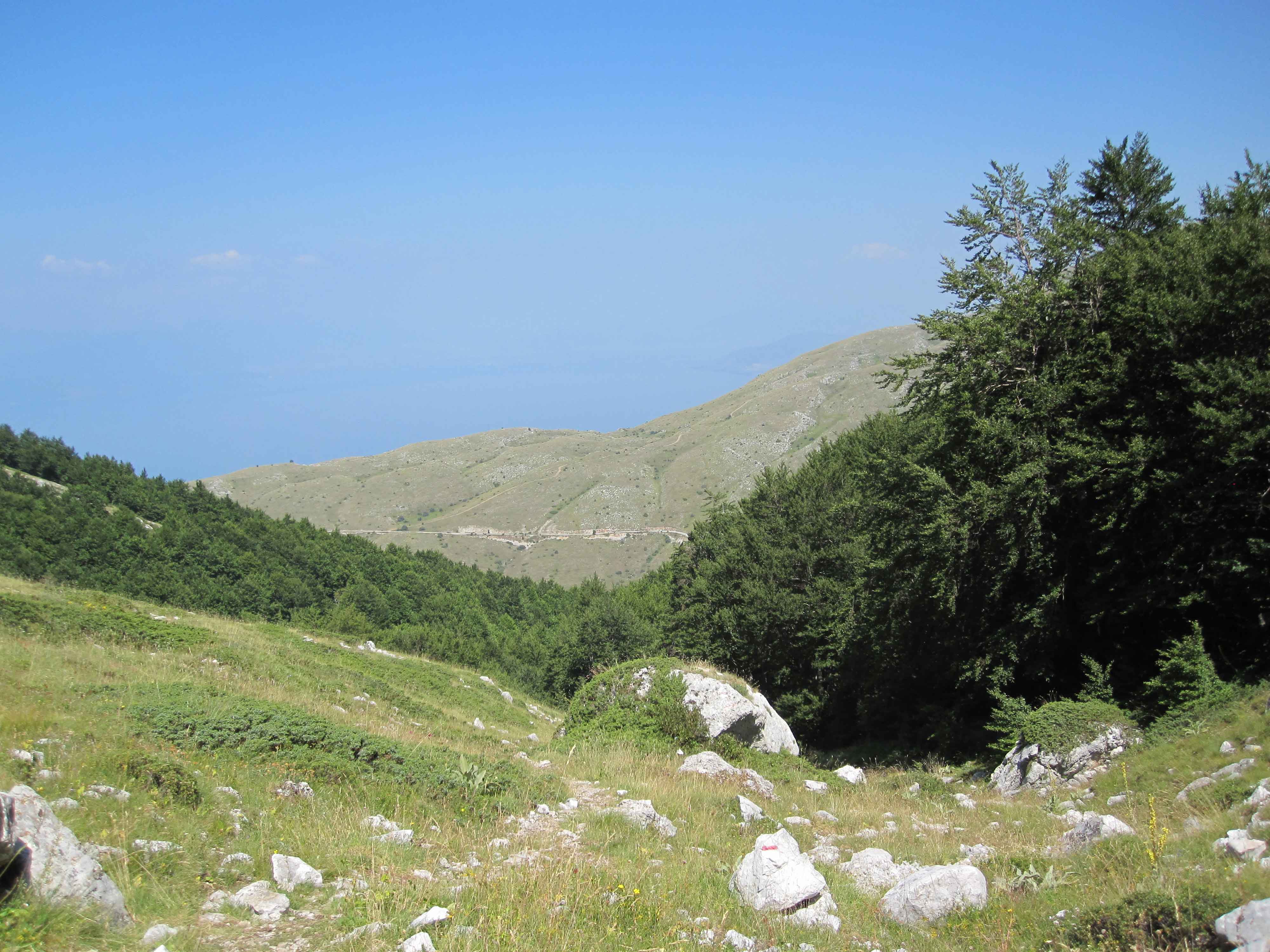
After an ascent through forest, you get above the tree line, where the views of the mountains are truly magnificent. At a crossing, you follow the trail uphill towards a huge metal billboard-like sign. When you’re getting close to the peak, the official trail takes a left turn. It however is recommended to continue forward towards the cliff, since you’ll have some excellent views of Lake Ohrid. We were pleasantly surprised by the fields with many flowers.
Once you have reached Magaro Peak at 2255 m, you have to walk back about 100 m and continue the trail downhill to the right.

Along the trail there are several points where you can spot both Lake Ohrid and Lake Prespa at the same time. Make sure to do this hike on a clear day in order to enjoy the great views! This is one of the most popular hikes in the area and it gets 5 out of 5 stars.
If you have your own transportation, you can easily combine this hike with some other sights along the way from Ohrid to the famous Monastery of St Naum.
You can view and download the GPS version of our hike here: https://www.wikiloc.com/hiking-trails/magaro-peak-in-galicica-national-park-near-ohrid-7546617

