
Although this 12 km hike with 450 m ascent is not an unpleasant hike, it was mainly a search for the archeological site with the ruins of the ancient fortress named Shurlenci Kale (or Sirhansko Kale).
The archeological site Shurlenci Kale and other fortresses in the Prespa region are described in detail in the booklet “Golem Grad Prespa II” by Vera Bitrakova Grozdanova in the chapter “The Archaelogical Topography of Ancient Fortresses in The Resen Region” by Viktor Lilčić Adams (see here or here). More information about fortresses around Ohrid can also be found here (page 99 and further):
Summarized, the booklet describes the fortress of Kale at Shurlenci as an unusually strong Late Antique (= 4th-6th century) fort created on top of a dominating hill (elevation 1180 m). The peak is elongated and humped, sloping towards Lake Prespa. During the wars of the 20th century, an access trench and bunker were dug into the mass of building material at the end, so that the interior of the facing tower – built with mortar in a horseshoe shape – was revealed. The fortified area is 192.5 x 65 m, the defense wall is up to 1.6 m wide. Check the booklet for a more detailed description!

The Macedonian Wikipedia writes the following: An archaeological site in the Prespa village of Shurlenci . It represents a fortress from the Middle Ages . It is located southwest of the village, where the Magaritsa hill rises , which dominates the shore of Prespa Lake and the road leading to Oteshevo and Stenje. At the very top there is a plateau, elongated in the east-west direction and with an area of 5-6 hectares, on which there are the remains of a rampart walled with stone and mud, 1 meter wide and with a height of 2 meters. On the south side there are remains of three defensive belts of walls, arranged one below the other. In the inner space of the fortress, foundations of smaller buildings and a variety of construction material can be seen. According to Tomo Tomoski’s research , it is about the fortified city of Constantion, which existed in the XI century.
The fortress caught my attention when I noticed this hike on Wikiloc, describing a walk around the Fortress of Sirhan. OpenstreetMap indicated an archeological site on top of the hill.
It was about an hour drive from Ohrid to Sirhan. I parked the car just of the main road, at the start of the road to the village Sirhan.
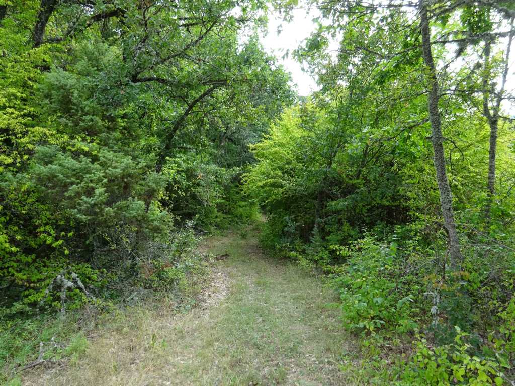
The beginning of the trail is quite nice on a small forest trail with an occasional good view of Lake Prespa.
After about 2 km I noticed what appeared to be some trenches just next to the trail. These trenches may date back to the 1st World War, but that is just my guess. I had a better look and noticed a trapped turtle in one of them, which I put outside the trench where it happily moved on.
A while later I startled a deer but unfortunately I was not fast enough to take a picture.
After about 3.5 km you join an overgrown 4×4 track, which is part of the T6 trail of Galicica National Park starting at Oteshevo. I would take this trail a couple of days later again when traversing Galicica National Park from Oteshevo to Ohrid. You leave this T6 trail again after less than a km and make a sharp right turn to another 4×4 road.

I followed this 4×4 road for a bit, but I did not know how to get to the fortress on top of the hill from this point, so I made my way uphill through the dense vegetation at a certain moment. After a while I reached an open area and from there it was clear how to continue to the fortress on top of the hill. I followed basically the same way back after visiting the fortress, again through dense vegetation. Only when I continued my way back to Sirhan again on the 4×4 track, I noticed another 4×4 track leading to the fortress just 300 m ahead. This of course is the best way to reach the fortress, I mapped it with the GPS and I have deleted all my other attempts from the GPS track so it takes you to the fortress without any problems!
The fortress itself was a nice surprise, many of the walls rather well preserved so the outlines of the fortress were pretty clear. But don’t expect high ramparts and towers! I spent over an hour exploring the site and having lunch before I went downhill again.
On the way back to Sirhan there were a lot of apple and plumb trees, and a mysterious deep well.

Just before you’re back in Sirhan you can find the Church of St Nikola on an old graveyard. The church was closed.
The trail unexpectedly ended in somebodies backyard, which was a bit awkward because the whole family was sitting outside having a drink. They did not seem to be too surprised about my sudden presence in their garden and did not seem to mind either luckily.
It was a nice adventure finding the ruins of this not-so-well-known fortress Shurlenci Kale. Also from a hiking perspective this was not a bad hike in a part of Galicica National Park that does not get many visitors, judging from the lack of GPS tracks that cover this region.
The hike gets 3.5 out of 5 stars.
You can view and download the GPS track of this hike, as well as a lot more pictures, here: https://www.wikiloc.com/hiking-trails/sirhan-shurlenci-kale-fortress-in-galicica-national-park-117529948

