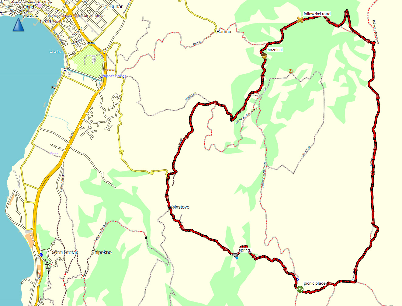
This 16 km round trip with a height difference of 700 m starts in the village Velestovo, close to Ohrid.
To get to Velestovo, take the mountain road into Galicica National Park at the roundabout with the gas station on Bulevar Turisticka (near Biljana Springs) in Ohrid. This road also passes the Galicica National Park Office on your right.
Follow the road all the way until the small square with the spring and church in Velestovo. Note that the square is small, parking space is limited and the road is rather steep, so you may want to take a taxi instead of a car. The church of St Prevesta Bogorodica Precista (St Most Holy Mother of God Most Pure) is worth a visit as well!

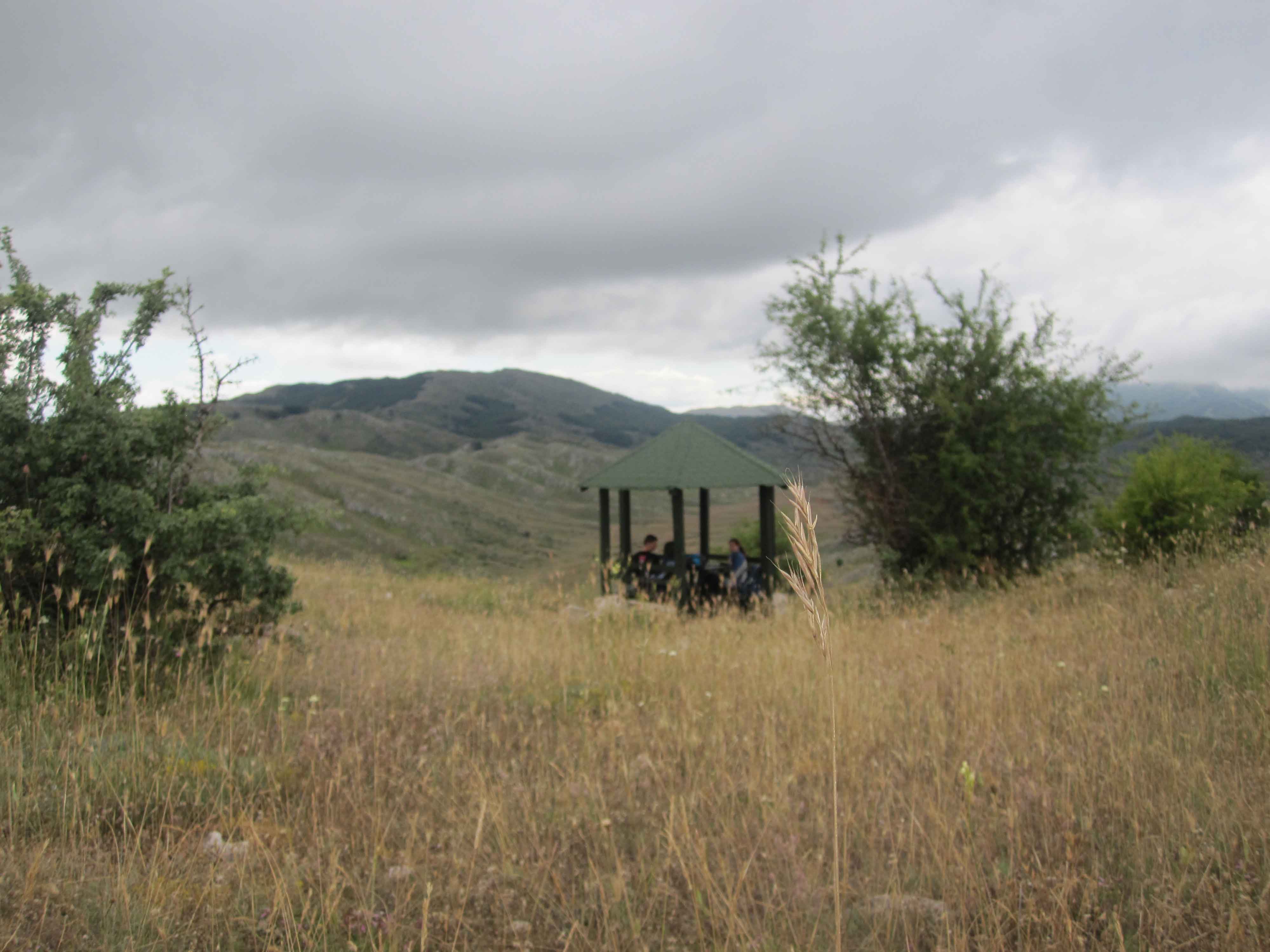
The first 3.5 km of the hike are rather steep, through forest-like area. After about 1.5 km there’s a spring. At the highest point (after 3.5 km) there is a covered picnic place, with a superb view over the valley beneath.
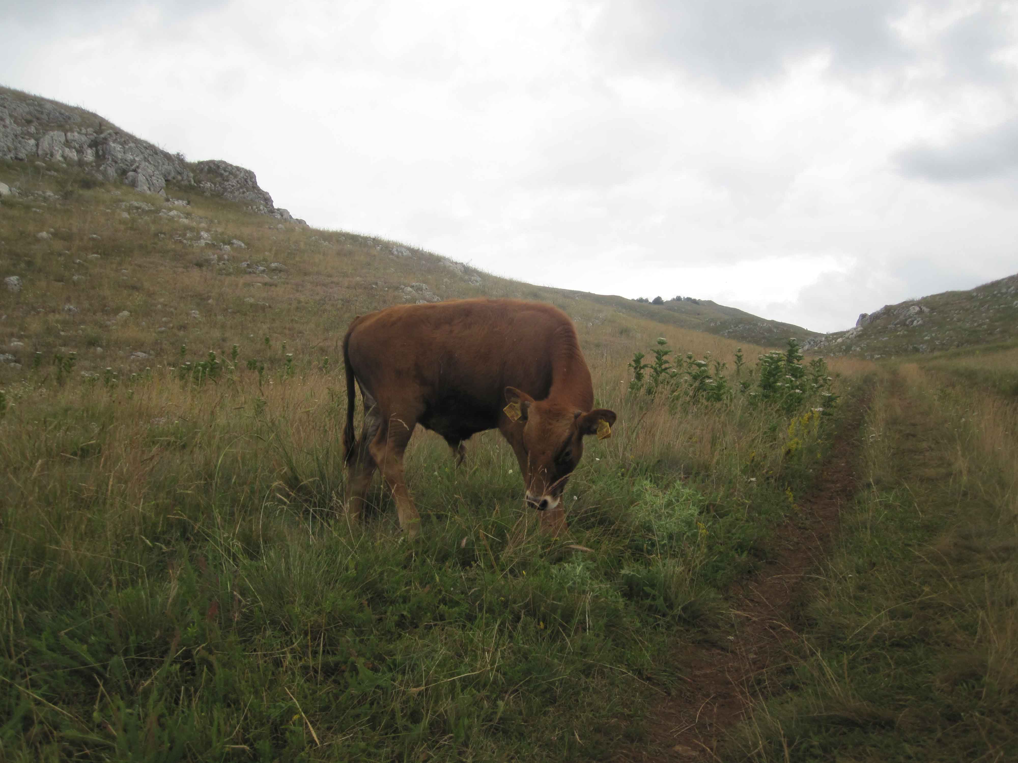
From the picnic place you walk downhill towards a shepherd’s farm. After 4.5 km, take a left turn. From here, the trail is flat and you’ll be walking mostly on an old 4×4 road towards the village Ramne. This is a very nice valley with many flowers.
We encountered several cows here…
At a T-crossing after about 9 km, turn left towards Ramne, the trail goes downhill from here. Be careful here because there have been some landslides. The trail was still quite well in 2014.
The last part of the hike is less attractive than the first part, since it mainly follows a relatively well-maintained and not so interesting 4×4 road instead of a small trail.
At a crossing after 10.5 km, follow the 4×4 road (and do not take the small signposted trail towards Ramne like we initially did. This point is marked in the GPS file).
The 4×4 road starts to go uphill again (about 100 m ascent). After 12 km there are some hazelnut trees.
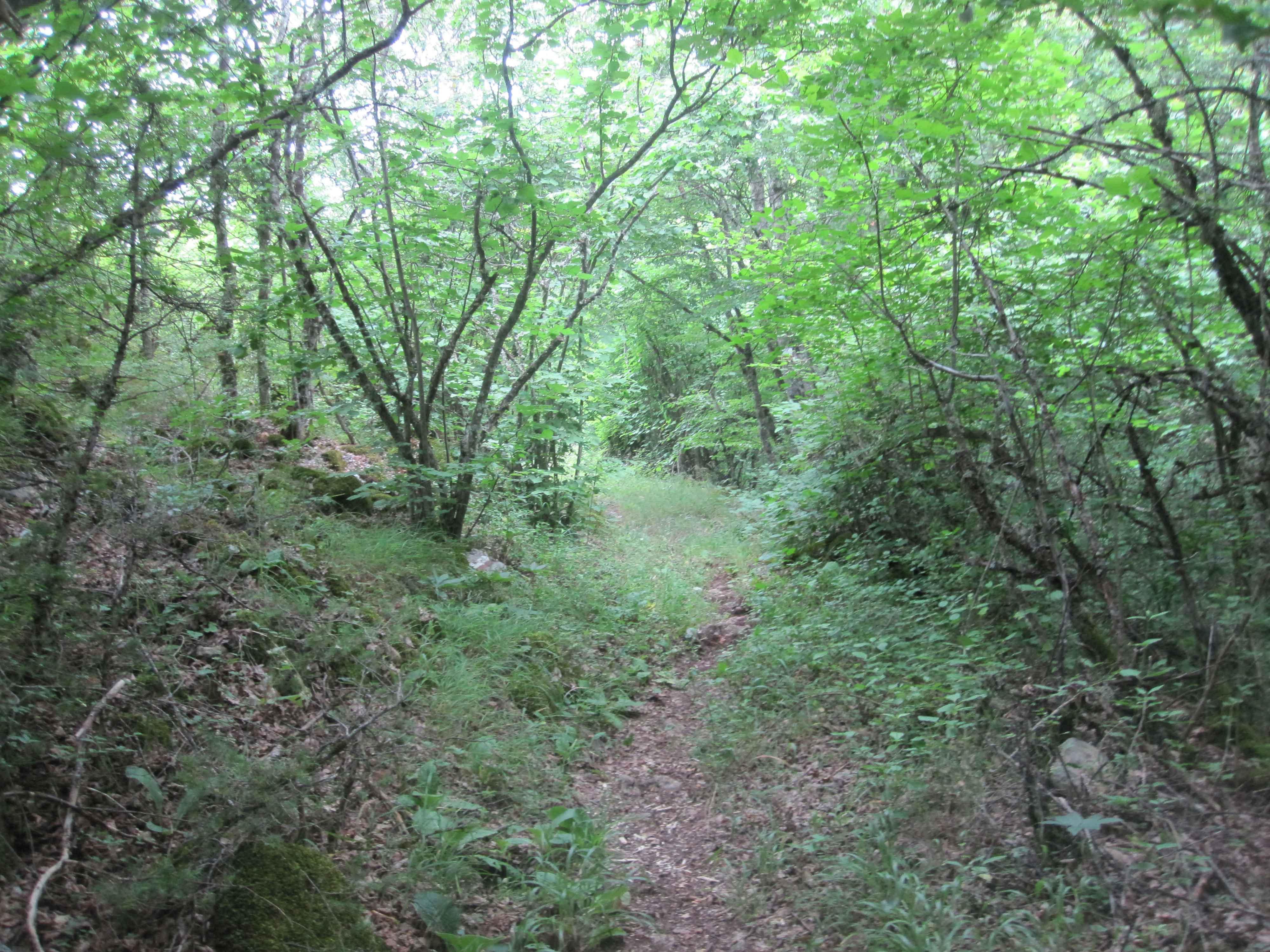
At the highest point of the ascent, and just before a major crossing, leave the 4×4 road and take a well-marked small trail to your right. This is a very attractive trail (called Leko’s trail), too bad it takes only 1 km before you’re back at the very wide 4×4 service road to Velestovo.
Alternatively, you can decide not to take Leko’s trail and continue walking on the service road. This will add 1-2 km to the hike.
The weather was not great when we did this hike, just after the picnic place it started to rain. Nevertheless, it was a pleasant, not too demanding hike. 3 out of 5 stars.
You can view and download the GPS track here: https://www.wikiloc.com/hiking-trails/velestovo-roundtrip-in-galicica-national-park-near-ohrid-7546661