
The hike starts in Velestovo. If you go by car to Velestovo, keep in mind that it is a small mountain village with limited parking space. An early start is recommended, or take a taxi from Ohrid.
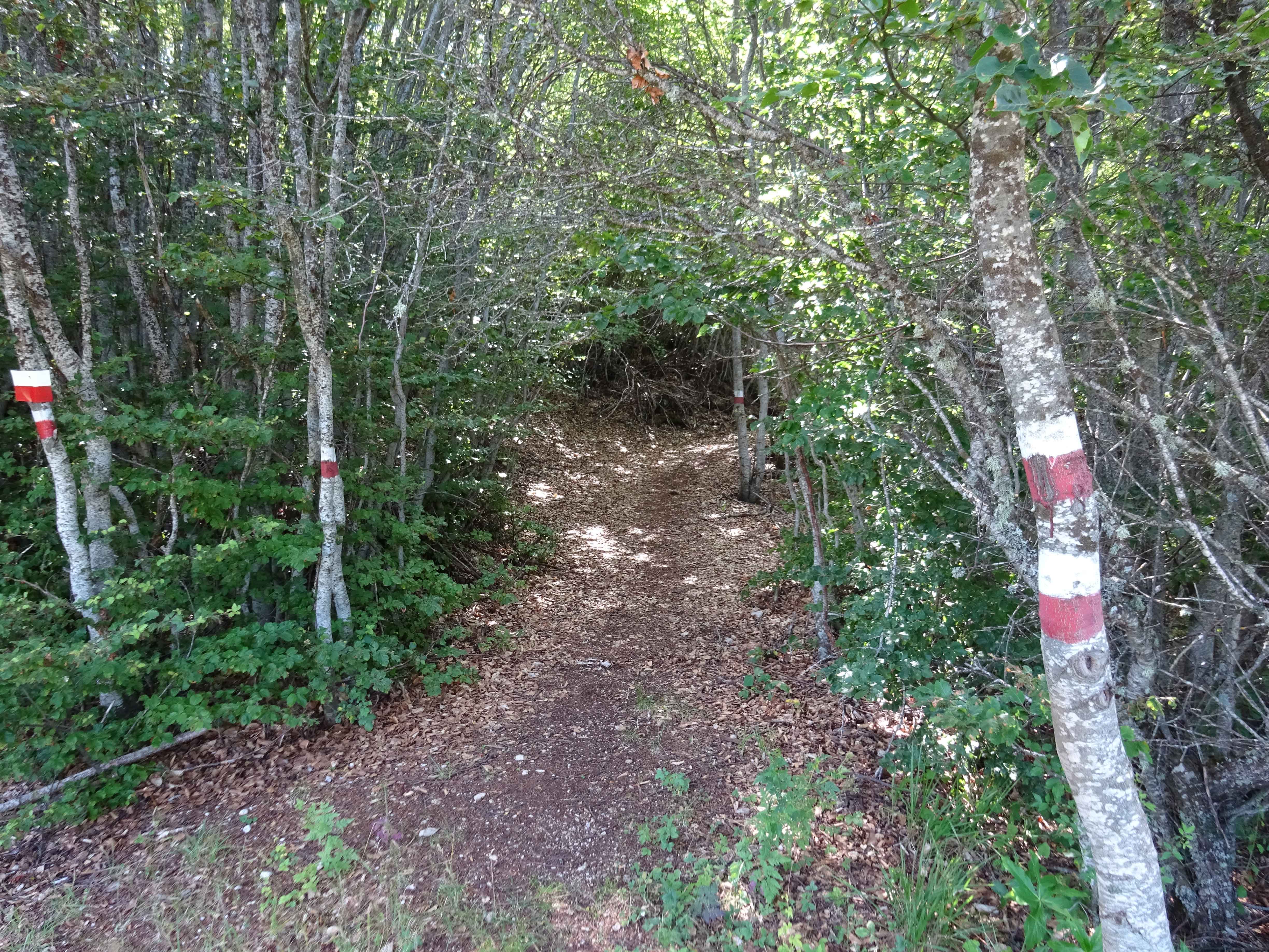
The first part of the walk is on a 4×4 mountain road. After about 3 km, you follow a trail that is called “Patekata Na Leko” on the map of OpenStreetMap.com, meaning “Leko’s trail”. It is well marked with red/white paint.

At 4.5 km, this Leko trail seems to continues a bit more uphill eastward to a small peak with a signpost, eventually connecting with a 4×4 road that goes to the village Ramne among other places. However, you should NOT continue to the peak with the signpost, but take a right turn and head south, uphill onto the ridge. Although this route is also named “Patekata Na Leko” on OpenStreetMap, there does not seem to be a clear trail. You follow the ridge for about 2 km, and despite the lack of a clear trail the direction is obvious. Then a rather steep descent back to a 4×4 road follows. Also for this descent we could not find the trail drawn on OpenStreetMap, so be warned for a bit improvisation here.
The next 3 km are on a 4×4 road and a bit uphill (after about 1.5 km there is an option for a shortcut to the next smaller trail if you are getting tired). The last 3 km follow a smaller trail that brings you back to Velestovo.

From my point of view this is not the greatest hike I have done in Galicica National Park, since it partly follows some larger 4×4 roads. However, it has a little bit of everything: 4×4 roads, the Leko trail was a nice small trail through a bit of forest, off-road walking etc…Including some nice views of Ohrid and the lake. It gets 3 our of 5 stars….
You can view and download the GPS track here: https://www.wikiloc.com/hiking-trails/velestovo-leko-trail-in-galicica-national-park-14867887

