
Sveti Nikole is a town about 50 km south-east of Skopje. We visited Sveti Nikole as part of a day trip from Skopje to the archeological site Bilazora and the Kanda Geoglyph.
The town is named after the church of St Nikola which was originally built by the Serbian king Milutin in 1313. The church is located within monastery grounds on top of a small hill. According to Wikipedia, the current church is from 1983-1990. Under the church there is another church dedicated to St Prohor Pczynski/St Prokhor Pchinski/Pcinjski. Location: N41° 51′ 58.7″ E21° 56′ 32.4″

The museum of Sveti Nikole is located in a nice building from 1924 and free to visit. We were the only visitors and got a private tour of the museum. The first floor has information about the archeological site Bilazora and our tour guide was a very enthusiastic archeologist. He stressed that the best way to visit Bilazora is to visit the museum first and then the site itself. We actually already had visited Bilazora and the Kanda Geoglyph before we came to the museum. The ground floor of the museum is more focused on anthropology. Location of the museum: N41° 51′ 54.0″ E21° 56′ 31.2″; website: https://muzejsvnikole.mk/; http://bylazora.mk/
Archeological site Bilazora

Bilazora (Bylazora or Vilazora) was a Paeonian city during the period of early Classic Antiquity. Bilazora was the capital of the so-called independent Paeonians and dates from the 7th-3rd century BC, with its most thriving period between the 5th and 4th century BC.

Bilazora is located near the village of Knezhje, not far from Sveti Nikole. Bilazora was the largest town of Paeonia and of strategic importance. In 217 BC king Philip V of Macedonia reconstructed its fortifications. The site was discovered in 1976 by professor Mikulcic who apparently without presenting substantial facts claimed that the hill was the ancient city of Bilazora.


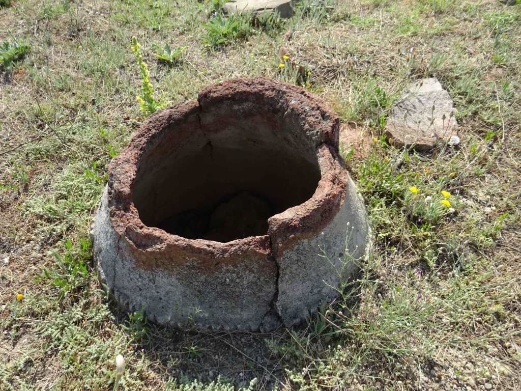
In 2008 a team of researchers discovered the main gate of a city, fortification walls, and plenty of small archaeological finds that were dated between the 6th and 3rd century BC. These findings confirmed that the ruins are of the ancient Paeonian city of Bylazora. The excavations are still ongoing. For more information, see Wikipedia.

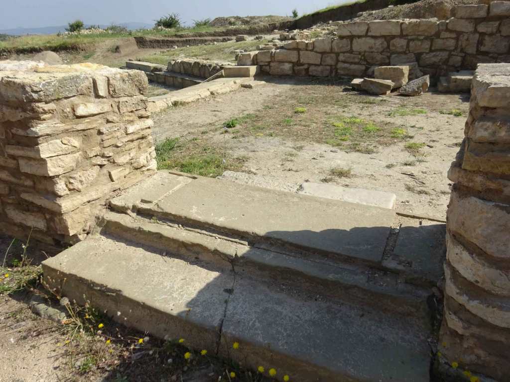
At the moment (2023) the ruins of a Royal Palace, the main North Entrance of the acropolis and some fortifications can be seen. The site is rather small and can be visited in less than an hour.
There is an asphalt road going all the way to the entrance. The site seems to be fenced off, but there is an opening for pedestrians next to the main gate. Location: N41° 50′ 49.9″ E21° 54′ 46.8″.

Below the site of Bilazora, there is another excavation of a very well preserved water reservoir or ritual pool, estimated from the 5th century BC. In 1994 bulldozers digging for road base material uncovered a large stone structure at the foot of the hill of Bylazora.
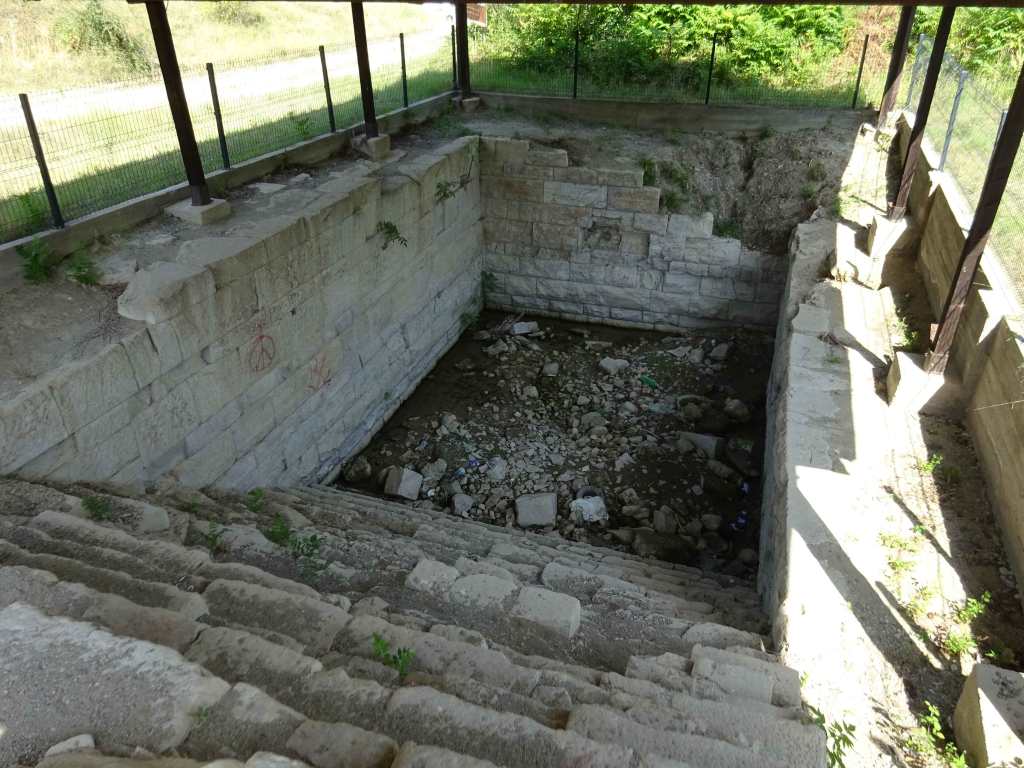
After excavations in the same year, this structure has been suggested to be a fortified water reservoir as well as a sacred pool. The latter was suggested because the construction aligns with the sunset of the summer stolstice. In addition, a water reservoir (cistern) at the foot of the hill of the Bilazora acropolis does not make sense, because in case of a siege the acropolis quickly would lose its connection to the water source.

Moreover, the large stairway of the reservoir occupies a large part of the building, which does not make sense if the structure was made to contain as much water as possible. See here for an interesting paper that describes these observations in more detail: https://www.academia.edu/1313613/The_Sacred_Pool_of_Bylazora

Don’t miss this site, it is very impressive how precise the stones of this object were made and placed. Regardless of its original purpose, it looks pretty watertight! Location: N41° 50′ 59.0″ E21° 54′ 35.4″
Kanda Geoglyph

Our original plan was to hike from Bilazora to our next destination, the Kanda Gleoglyph. However, it was way too hot and we drove by car to the only Macedonian Geoglyph.
A geoglyph is a large design produced on the ground by durable elements of the landscape, such as stones, stone fragments, gravel, or earth. Probably the most famous geoglyphs are the Nazca lines in Peru. But there is also one in Macedonia and it is called the Kanda Geoglyph!

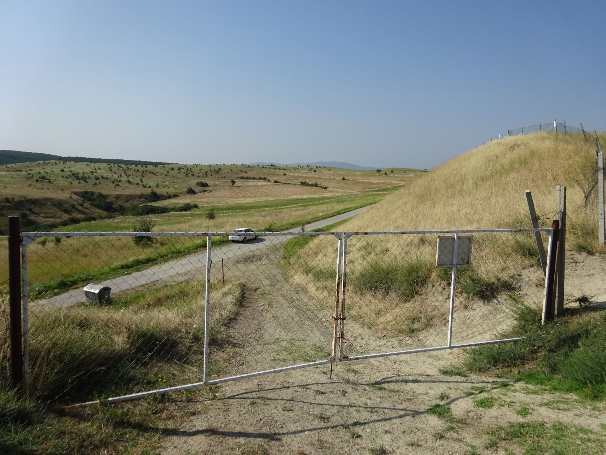
The Kanda Geoglyph is a man-made hill with an oval-shaped inscription in it. Inside the oval circle there is another inscription resembling an arrow or a letter. Some say it resembles the stellar constellation of Cassiopeia.
Analysis using an infrared camera revealed a different composition of the soil in the hill compared to the surrounding soil. In 2014 international researchers have investigated the geoglyph and concluded that there may be a cavity inside the hill, presumably only a few tens of meters beneath the surface. It is believed that the hill at Kanda is a cairn (i.e. a man-made pile of stones, usually as a marker or as a burial mound) with an inner chamber or that the hill was raised on top of an existing hill to form the cairn thus increasing its original height.
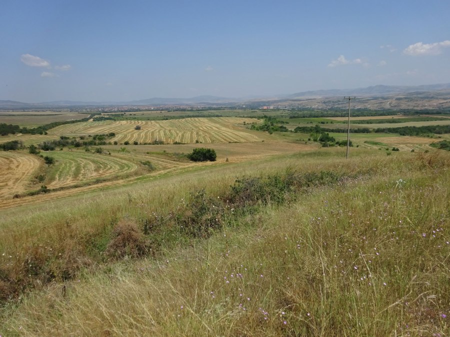
It is good to realize that from the ground, there really is not much to see unless you have a drone. In addition, when we visited in July the site was pretty overgrown with high grass. It’s therefore advisable to read a bit about the Kanda Geoglyph and watch some YouTube videos before your visit to get a good impression of the site.
Some recommended reading and watching: https://en.wikipedia.org/wiki/Kanda_Geoglyph and https://www.researchgate.net/
You can check here for more details about how we visited the Kanda Geoglyph.

After the Geoglyph, we went to the town of Sveti Nikole where we first had a very good pastrmalija (oval-shaped Macedonian pizza with meat) in the well air-conditioned pizza restaurant “Ti Amo” (https://picerijatiamo.mk/). Especially the one with smoked meat was very good!
The restaurant is conveniently located close to the Museum of Sveti Nikole, where we went next to learn more about Bilazora and the history of the region.
