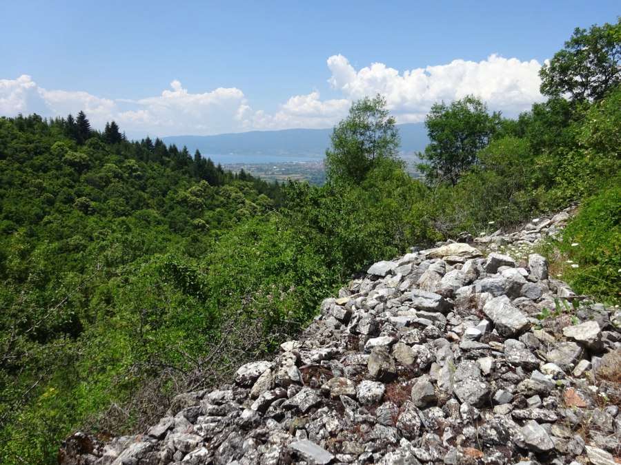
This is not really a hike but a visit to the ruins of the Fortress of Trebenishta (Trebenishko Kale). The hike is about 6 km with 300 m ascent, so actually it is a bit of a climb!
I like fortresses and you can find an overview of the fortresses that I have visited in Macedonia here.
The village Trebenishta (often written as Trebenishte) itself is known for the archeological site and necropolis where the famous golden funeral mask was found that is depicted on the 500 denar banknote. This probably was a rich and strategically important region in the past.
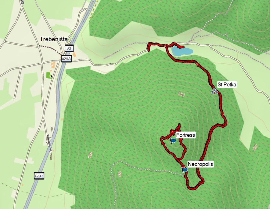
We parked at the end of the asphalt road, just before the small Trebenishta Lake. The asphalt becomes an unpaved road.

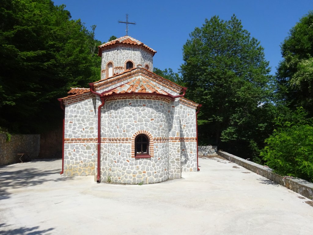
A sign points to the Church of St Petka, which is along the way to the fortress. The sign also mentions St Sreda in the opposite direction, which we did not attempt to visit. St Petka is a new church and was locked.
The Trebenishta Fortress is described in the paper “The Frontier Studies. Survey of the Northern Part of the Lake Ohrid Basin, Preliminary Report on the Season 2017” by Barbara Weissova et al (2019), Studia Hercyna XXII/1, 99-133. The text in italics below is from this paper.
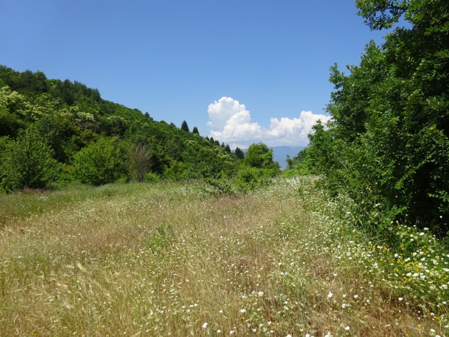
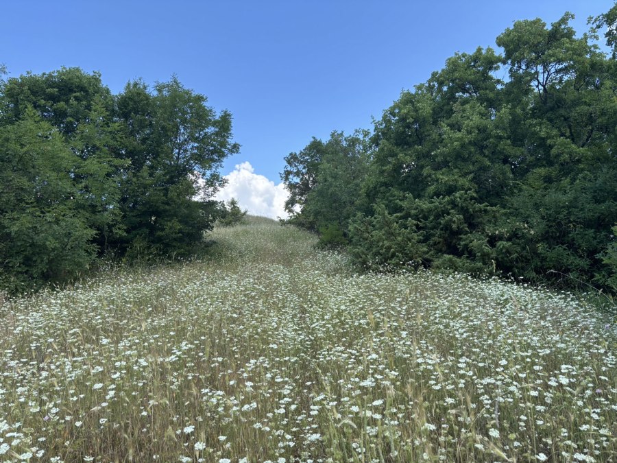
You will first pass the location of the necropolis, indicated with a waypoint on the map (the coordinates were taken from the Weissova paper). There is nothing to see here anymore, except from a lot of flowers. The Weissova paper mentions the following about the necropolis”
“A necropolis dated to the Hellenistic period, located about 300 m south of the Trebenishko kale on a mountain pass. It was excavated in 1953–1954 and it revealed 17 burials with material from the 4th–3rd century BC. The grave offerings, especially the fibulae, demonstrate a strong connection to the sites in eastern Albania (i.e. Selce, Irmaj) which were a part of the Dassareatean Kingdom at that time“.
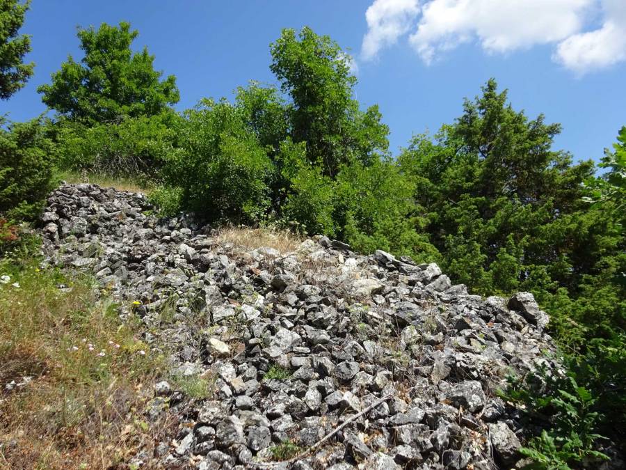
Then you climb your way further up the ruins of the fortress.
“Trebenishko kale is a well‑known fortified settlement (of 7–8 ha) inhabited during the Early Bronze Age, Iron Age, Hellenistic, Late Antique and Early Medieval (Byzantine) periods. The long timespan of the habitation might be most likely ascribed to its strategic location since it is situated on a high hill (1006 m.a.s.l.) overlooking the entire Struga plain as well as the six‑kilometer long pass leading to the Ohrid plain.
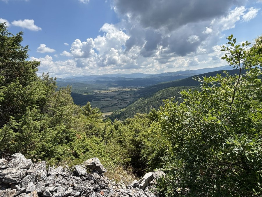
Only the Late Antique fortification walls are visible in several places on the south and south‑eastern slope of the hill. Their width is from ca. 1.5 m to 2.2 m, the preserved height reaches up to 1.5 m. Some walls are heavily eroding, in parts looking rather like a pile of stones arranged in lines.

Most of the architectural remains are of lime- or sand‑stones without bonding, only several places feature the remains of mortar. A large excavation trench (5×2.3 m, 3 m deep) from the 1950s is still visible directly on the top of the hill at the place where a foundation of a bigger architectural unit was originally supposed; more recent intrusions by robbers cannot be excluded, as different trenches/holes were observed in the area of the fortress. Within the central trench, four shards were collected, all dated to the Hellenistic period and having their best parallels in the ceramic material found in the nearby necropolis”.

Indeed, there is nothing more to see than piles of stones. I tried to find and follow the contours of the walls. The ruins were a bit disappointing, I had hoped for more. But it is always cool to be on such an ancient site! And in June the site was full with flowers, which made it quite beautiful.
After our visit to the fortress we relaxed for a while at the shore of the Trebenishta Lake.

You can view and download the GPS track of this hike here: https://www.wikiloc.com/hiking-trails/trebenishta-fortress-274702511
This hike was part of a daytrip from Ohrid. After the Trebenishte Fortress we visited an 11th century church in the village Vranishta and had lunch in the Etno Restaurant in the village Kalishta at Lake Ohrid.

