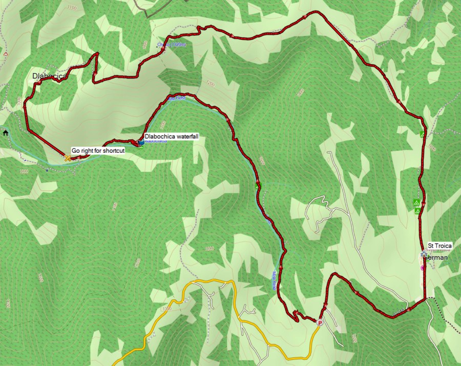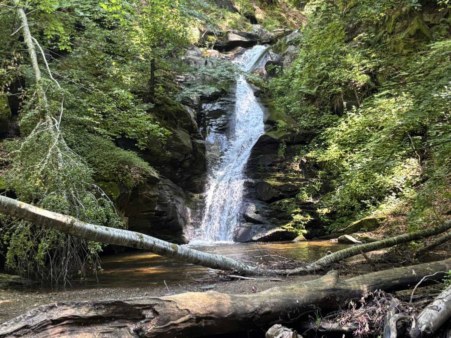
This hike was 26 km long with 950 m ascent, but it can easily be shortened. It starts near the village German and visits the Dlabochica waterfall, which is the highlight of this walk.
I wanted to do a long hike and combined several existing shorter GPS tracks that were leading to the waterfall.
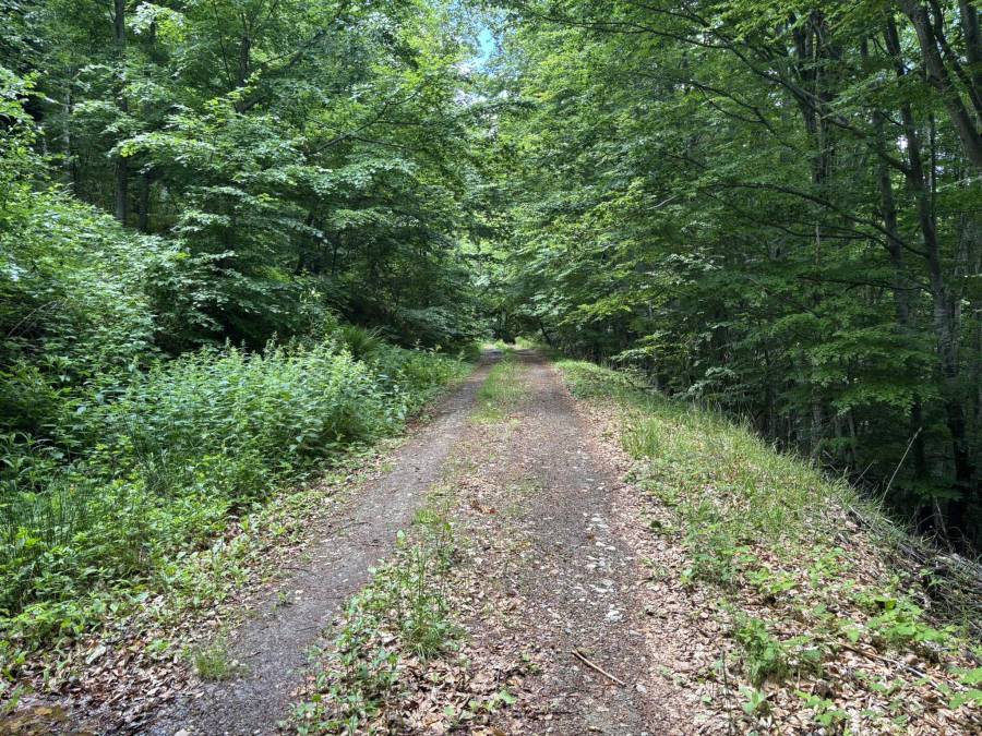
It turned out that a large part of this hike (after the waterfall) is on quite boring forest roads and might as well be skipped. That would reduce the length of this hike with about 10 km and 450 m climbing! The option for this recommended shortcut is from the waypoint named “Go right for shortcut” towards the waypoint “Go right for waterfall”.
If you would just visit the Dlabochica Waterfall from the starting point and back, this hike would be about 9 km with 300 m ascent.
The last part of the hike on the ridge to the Chuka peak and back toward German has much better views.

The start of this hike (near the village German) to the Dlabochica waterfall probably is the easiest starting point and the shortest route to the waterfall. The road to German is asphalted. It seemed that another possible starting point, the most south-west part of the GPS track near Dejlovce, is located at an unpaved road.
The beginning of the hike was through wet grass on an early morning in June 2026, which resulted in pretty wet shoes already at the start of the hike. This part of the trail looks like it may get overgrown later in the year, but when I was there in June it was well do-able.
The waterfall was nice and actually higher than it seemed to be on the pictures I had seen.
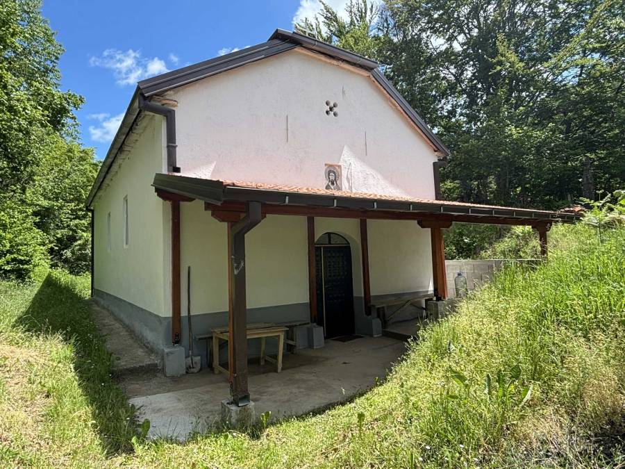
I visited the Church of St Jovan (St John) as well, it seemed to be a relatively new church on a cemetery and not really worth the detour retrospectively.
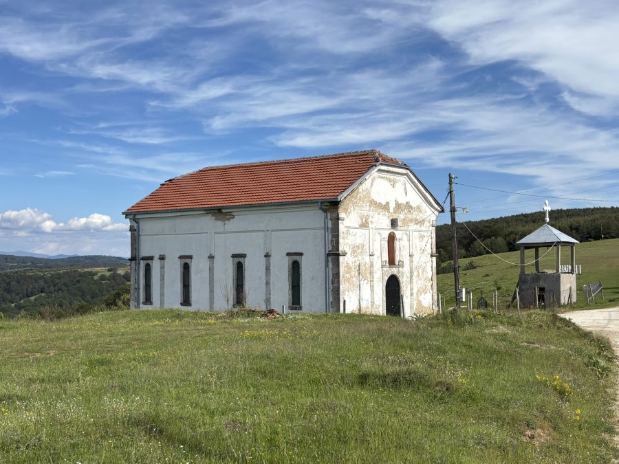
In the village German there is the Church of St Troica (Holy Trinity), which was closed.
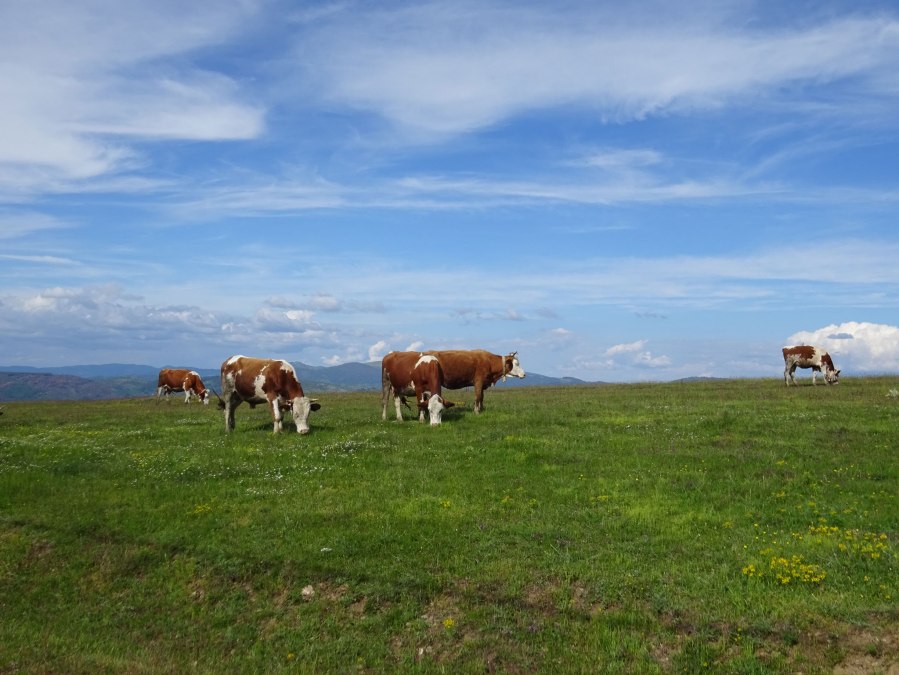
On one side of the road that goes through German there were some houses, on the other side of the road cows were grazing.
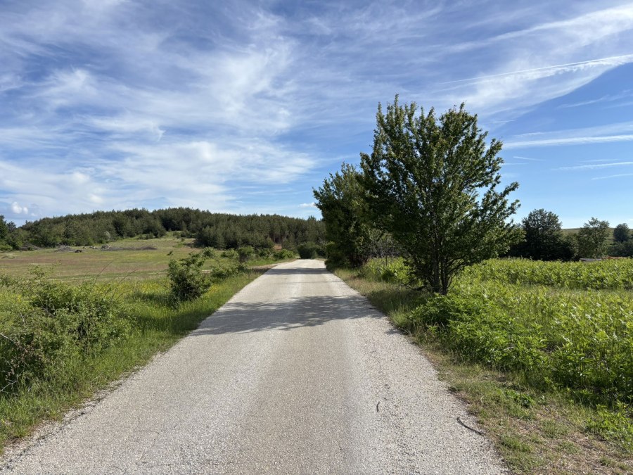
The last part is on an asphalt road but with good views so that’s not too bad.
The version that I walked gets 3 of 5 stars. I think when I would have taken the shortcut and only walked the east part of this hike ,it would probably be a 4 star hike. That version would be about 16 km and 500 m ascent
You can view and download the GPS track of this hike here: https://www.wikiloc.com/hiking-trails/dlabochica-waterfall-from-german-272869343
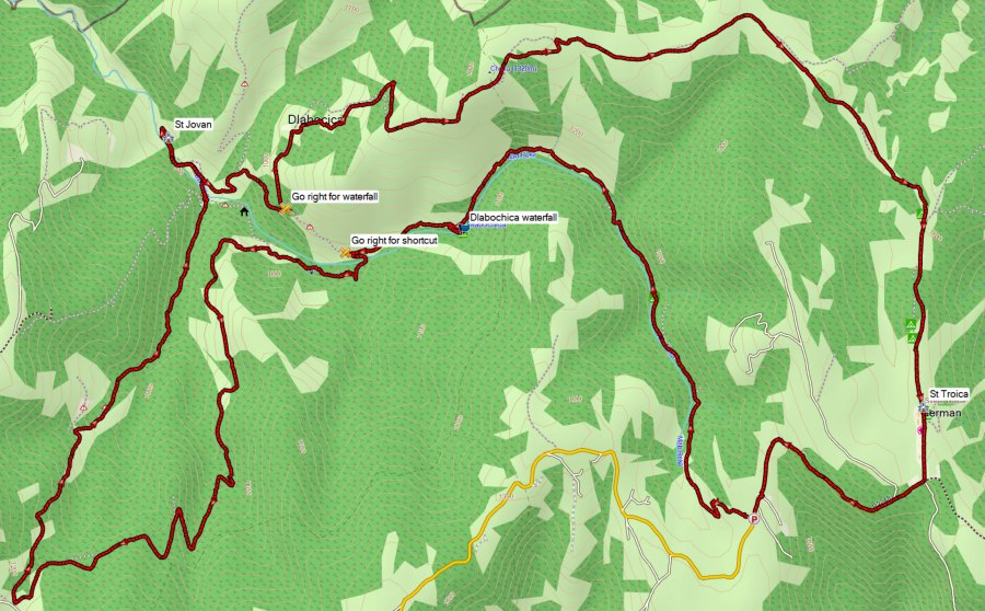
The map below shows the version of the hike that I recommend to do, instead of the version above: