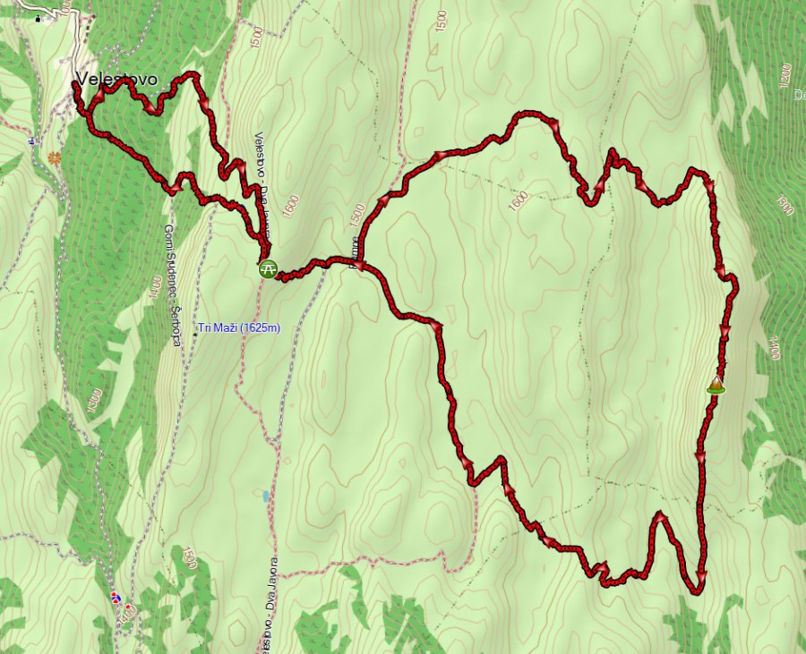
This hike is 27 km long with approximately 1230 m ascent.
In 2025 I made a route from the village Ramne through the “unexplored northeast of Galicica National Park”. I called this region “unexplored” because there are no GPS tracks to find for this part, and even OpenStreetMap does not show the trails in this area. During that hike from Ramne I walked along the foot of a mountain and figured that on the ridge of that mountain you would probably have a great view of Lake Prespa and Galicica National Park. So in 2026 I designed the current route using Google Earth, starting from Velestovo and following the mountain ridge. The current hike starting in Velestovo has about 6 km overlap with the hike from Ramne.
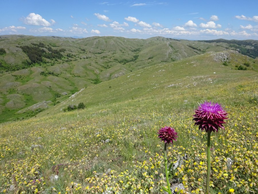
And luckily I was right, this mountain ridge gives you excellent views!

This hike starts in Velestovo, where there is limited parking space on the square next to the spring.

Much of the trail is one easy to follow (4×4) trails and is very exposed to the sun. At some points where it is not obvious to make a turn (and where I went the wrong way myself, these parts have been deleted from the GPS track) I added a waypoint to indicate this.
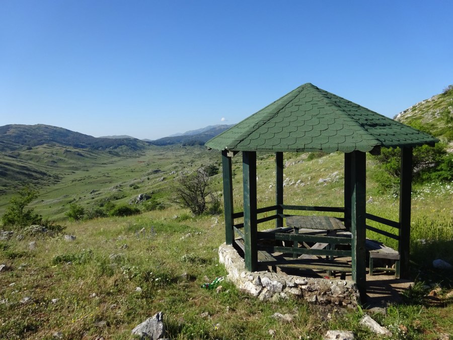
You’ll pass a gazebo/picnic place with a nice view that is good for a short stop. You’ll pass here on the way back as well again.
The part on the mountain ridge does not follow a clear trail but is more freestyle.
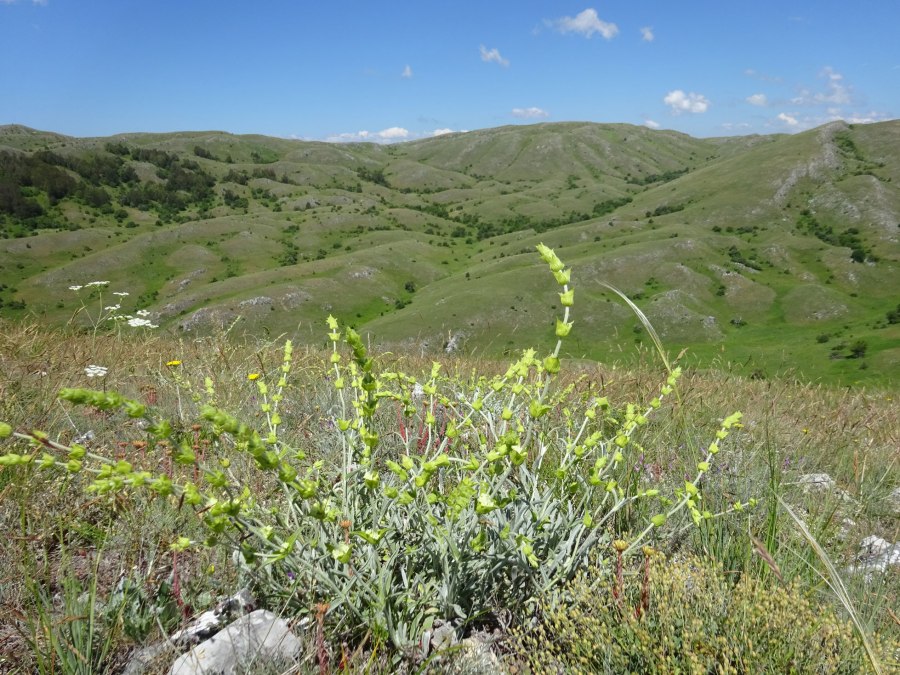
It tuned out that this part is not so “unexplored” as I thought, because there were quite a lot of locals collecting mountain tea. This was almost at industrial scale, with a dozen of people meticulously collecting the mountain tea in large bags.

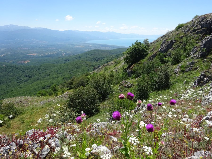
Views from the mountain ridge of the Prespa region and over Galicica Park were really good.
After the descent from the mountain, you join a 4×4 road that you have to leave at a certain moment to the left to eventually join the road to Velestovo again. There is not a very clear trail here and you need to keep an eye on the GPS. There’s a bit of climbing as well in this area, and later on as well to reach the gazebo again. This climbing near the end of the hike was a bit tough, also because of the exposed terrain.

On your way down to Velestovo you’ll pass the Gorni Studenec Spring. Besides that there’s no water on the trail. I had 4 liter water with me and finished it all!
I enjoyed this trail a lot, also because it’s interesting to design something behind the PC and then hike the trail in real life. The trail gets 4 stars out of 5.
You can view and download the GPS track of this hike here: https://www.wikiloc.com/hiking-trails/velestovo-the-unexplored-east-of-galicica-national-park-274979334